The layout of VRGS
This page describes and illustrates the ribbon, the main window, the project trees and the docking panels in VRGS.
| VRGS 3D window |
|---|
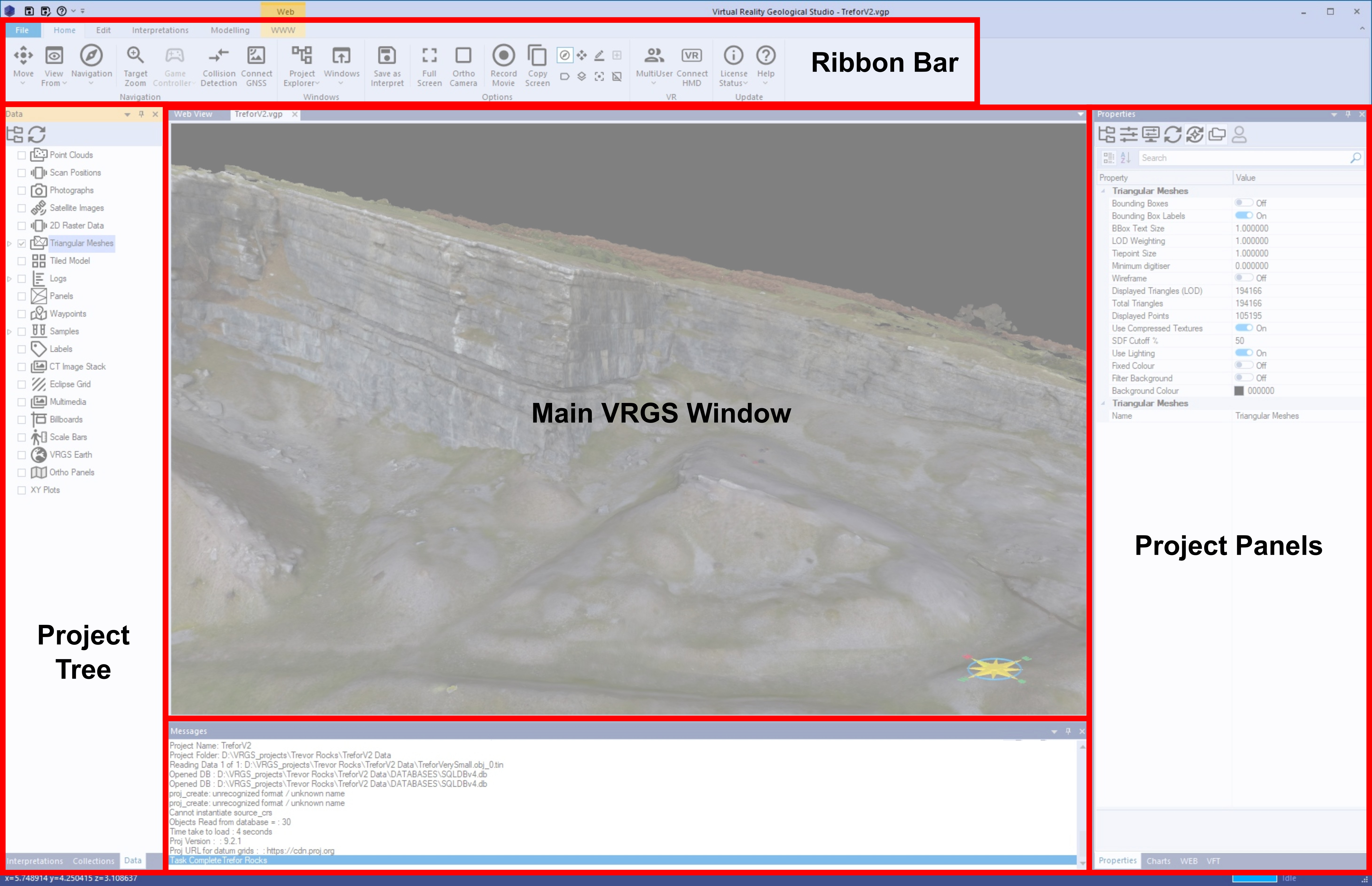 |
The Ribbon Bar
The VRGS ribbon contains the primary tools of VRGS. The File menu and five tabs are always present:
- Main — the File menu, behind the VRGS button at the far left of the ribbon. Creating, opening, saving and backing up a project, and importing or exporting whole projects.
- Home — navigation, window and panel management, display options, VR and multi-user, and licensing.
- Edit — data editing tools, and export/upload integrations.
- Interpretations — the structural and sedimentological interpretation tools, for both point clouds and meshes.
- Annotations — measurements, scale bars, waypoints, labels, sketches and other non-geological markers.
- Modelling — surface building.
Other tabs are context-sensitive: they appear only while an object of the matching type is active. Selecting a point cloud adds a Point Clouds tab, a mesh adds Triangulated Mesh, and opening a stereonet, log, map, photograph, flight path or Python window adds a tab for that window. Every tab is listed, command by command, in the Ribbon Bar reference.
Home → Windows → Basic Menus swaps the Home and Interpretations tabs for cut-down Home (Basic) and Interpret (Basic) versions that carry only the everyday commands. It is a good place to begin, and the same toggle switches back.
Main 3D Window
The primary VRGS window views 3D models. The same document area also hosts the other window types: 2D maps, stereonets built from your interpretations, sedimentary logs and 2D log correlation panels, photographs and 2D images, spreadsheets of interpretation data, analysis reports, the field guide editor, the Python interpreter, and an interactive web browser. New windows are opened from Home → Windows.
VRGS Project Trees
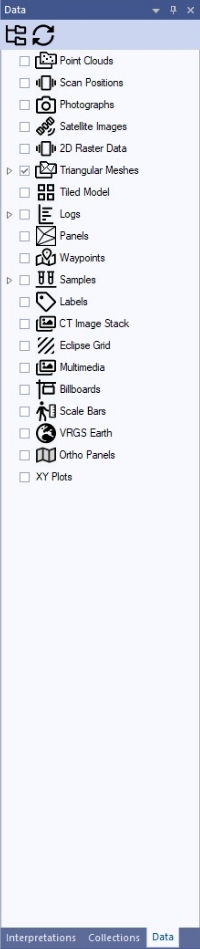
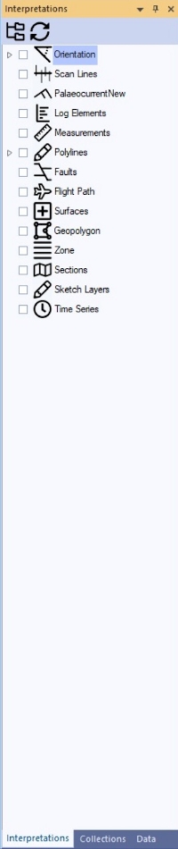
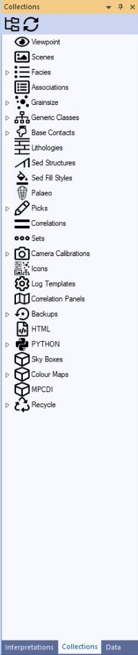
Each VRGS project contains the Project Trees listed below. They are described in detail in the Project Trees reference:
-
The Data tree — the spatial data you import: point clouds, meshes, images, logs and wells.
-
The Interpretation tree — everything you create: orientations, polylines, faults, surfaces, geobodies and measurements.
-
The Collections tree — shared project resources: viewpoints, facies, stratigraphy, colour maps and HTML pages.
| The Data Tree | The Interpretation Tree | The Collections Tree |
|---|---|---|
 |  |  |
VRGS Project Panels
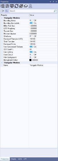
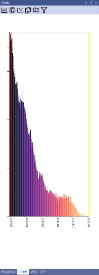
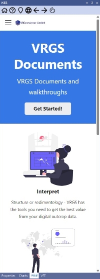
There are several docking panels in VRGS, each accessed by selecting the appropriate tab in the panel window. Every one of them can be shown or hidden from Home → Windows, and Reset Layout on the same panel puts them all back if the layout gets away from you.
| The Properties Panel | The Charts Panel | The Web Panel | Virtual Field Trip Panel |
|---|---|---|---|
 |  |  |  |
Alongside those four, and the three project trees, are:
- Athos — the AI assistant built into VRGS. Ask it how to do something, ask questions of your own literature library, or ask it about the project you have open.
- Flight Path Timeline — the editing timeline for animated fly-throughs.
- Outcrop.io — a browser for the Outcrop.io model library.
The Properties Panel is the one to keep open: almost everything in VRGS is configured by selecting an object and editing its properties there.
VRGS Message Panels
VRGS has two message panels.
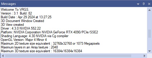
- The primary Messages panel displays messages that relate to key VRGS processes (e.g. data loading, processing data).
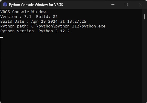
- The second is the Python console window that is used when executing python scripts (e.g. using the
print()function).
| VRGS Messages Panel | Python Interpreter |
|---|---|
 |  |